Thanks to Danny O’Brien, I have lost a whole morning looking at ancient maps. This is a truly fantastic site, though regrettably biased towards the USA. If you download the Java viewer, you can examine and save maps from most of the last two centuries at very high resolutions: I saved a map of Stockholm at about half the maximum level of detail and got a 2.5 MB jpeg.
What I wanted to look at was the place where I lived as a child for a couple of years: one of the nicest addresses and finest views in the whole world, and Strandv
“The year we moved there, Sweden still drove on the left”.
I feel obliged to ask how they made the changeover… did they have an “All Right on the Day” day, in which case what did all-night lorry drivers do – swerve across the central reservation at midnight? How did they repaint the roads? Or did everyone have to stay off the roads for a week while they changed all the “No Entry” signs to put them in front of the correct entrances/exits? Were all the traffic lights moved across or just turned through 180 degrees?
Or were different parts of the country moved over, so you’d drive on the right in the big cities but the left out in the sticks, in which case where was the changeover there?
Truly, Andrew, you can’t leave us hanging like this.
Update: I checked this on a modern map of Stockholm, and discovered a huge hole in my memory. It’s not Strandv
Charles: For about ten years before, they sold cars set up for wrong-hand drive, and built road junctions and so on ambidextrously. There was a huge blizzard of prolaganda. Then, between two and three in the morning of the day, all traffic was banned, and when it resumed, it did so on the right. Went without a hitch, all over the country, except for the inevitable Norwegian lorry driver who changed to the left as usual when he entered Sweden and drove for a couple of hours like that.
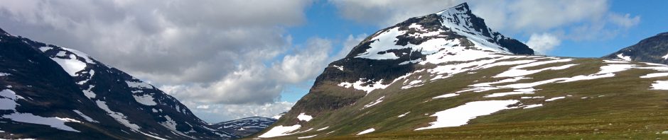
This wouldn’t have been too hard. There’s nothing in Europe as empty as a road in Lapland. The following summer, my parents let me drive our car for seven km on a metalled road in the wilderness – an interesting interpretation of diplomatic immunity, since I must have been 12. But we met no other cars at all. There weren’t even any reindeer.
I get a similar thrill from walking around North London – it takes a bit of practice, but after a while you can start to discern the underlying geography of the place down to lost stream valleys, escarpments and the like (there’s a rather intriguing map of London’s waterworks in 1856, which has much clearer contours than the current chronically congested Ordnance Survey map). I find it quite thrilling to imagine that the surroundings are much more open to change than landscape made of granite – I recommend Dartmoor for that sense of timelessness – and that one day people will sit on Parliament Hill and look down on City Lake.
Which may be sooner than expected given that the Greenland ice sheet is melting at ten metres a year, according to Today this morning.
R